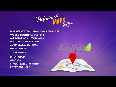
Interactive Map create multi-layer HTML5 (GIS cross platform) Leaflet js & Geojson online & offline
Creating your mab by leaflet js and GeoJson not need any software
Can be added multi-layer interactive map HTML5
GIS data integrate with Leaflet js will create Very friendly interface application or website (online or Offline)
Markers with custom icons & Labels
Vector maps for all world countries GeoJSON
Vector maps for lakes and rivers lake GeoJSON
Rotated Marker Label
Zoom level Bottons OpenPopup
Multi Layers
How to used rotationAngle Geojson HTML5 ( cross platform ) Leaflet
Example leaflet map with GeoJson https://shorturl.edafait.com/?leaflet_example
Code github : https://shorturl.edafait.com/?map_countries
Leaflet is the leading open-source JavaScript library for mobile-friendly interactive maps. Weighing just about 39 KB of JS, it has all the mapping features most developers ever need.